Unlocking the Future with Geospatial AI
VirtualYou've heard about how AI is changing the way we work with information, but what does it mean for how we understand our physical world? Whether you are new or […]
You've heard about how AI is changing the way we work with information, but what does it mean for how we understand our physical world? Whether you are new or […]

With a focus on hiring from the neurodiverse population, Enabled Intelligence seeks to educate how these types of employees have proven especially adept of the detail orientation, hyperfocus, and pattern […]
You've heard about how AI is changing the way we work with information, but what does it mean for how we understand our physical world? Whether you are new or […]
Learn how Native American communities within the U.S. are using geospatial technologies to protect the past and plan for the future. The concept of geospatial knowledge is deeply rooted in tribal history, which goes back thousands of years. Since the inception of modern GIS platforms, tribes have been using geospatial technologies to protect historical landscapes, cultural and natural resources. Today, geospatial technologies are being used to plan for sustainable tribal growth and development while managing data for an effective government.
As Apache Airflow scales up, efficient DAG generators become crucial for maintaining clean, performant workflows.
GEOINT Hub, in collaboration with the National Geospatial-Intelligence Agency (NGA) is excited to invite you to GeoConnect: Navigating Geospatial Resources and Government Collaboration in St. Louis! Please join us on […]
WashU and T-REX will be hosting the Geospatial in Motion event on Thursday, January 23, 2025, from 6:30 PM to 9:00 PM.
Geosaurus Unleashed is back on Wednesday, Feb. 12th at 4-5pm on T-REX's 4th Foor!

Making Accessibility Smarter We Hear You, an Arch Grant recipient and T-REX company, is redefining accessibility with innovative assistive tech. Their Hero Door Opener turns standard doors into automatic, touch-free entry […]

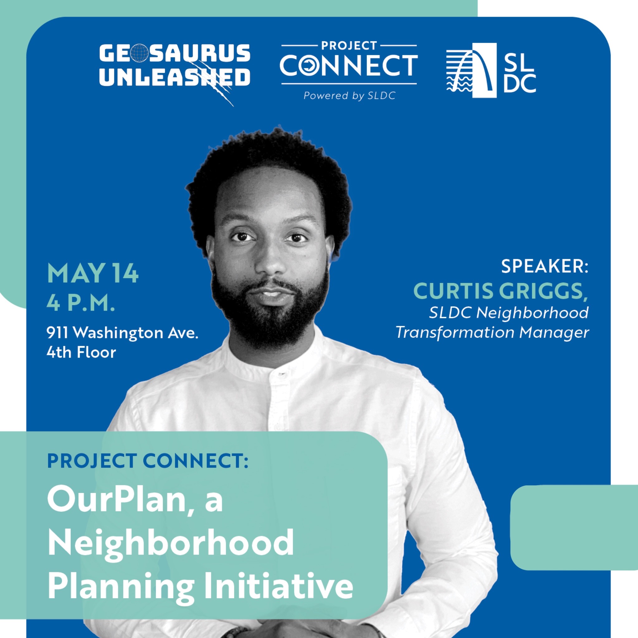
The OurPlan neighborhood initiative within Project Connect utilized advanced geospatial mapping tools to identify and highlight target areas for housing infill and development. Register Here Through detailed spatial analysis, the […]