

- This event has passed.
Geospatial User Group – Third Wednesdays
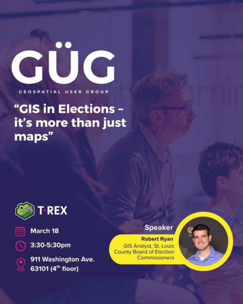
TOPIC: GIS in Elections — it’s More Than Just Maps
SPEAKER: Robert Ryan, GIS Analyst, St. Louis County Board of Election Commissioners
DESCRIPTION:
St. Louis County Board of Elections has had its own mapping department since the 1970’s as administrating
elections is a tough, unforgiving business. One mistake can make people think elections aren’t to be trusted.
Most election offices don’t have GIS users, but St. Louis County’s high population and complex political
geography make hiring them a necessity for responsibilities beyond just map-making. The data we began
modernizing in 2017 is now used in so many ways that it allows us to show our staff and the public specific
insights into how the Election is progressing. We field a wide assortment of questions: What am I voting on?
Which races are getting the turnout? Which polling places are busy? Which polling places or absentee sites
need more staff and equipment? Which polling places are most likely to see paperwork issues? How fast can
we get the ballots back to the office so they can get tabulated? All these questions or problems involve a map,
but how we approach and use GIS data makes all the difference.